




Product Description

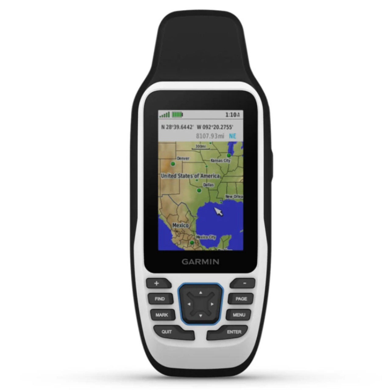
Brand new, genuine Garmin GPSMAP® 79 Series GPSMAP® 79s - Marine Handheld With Worldwide Basemap. This is a factory original equipment item, not aftermarket.
SPECS
| General | |
|---|---|
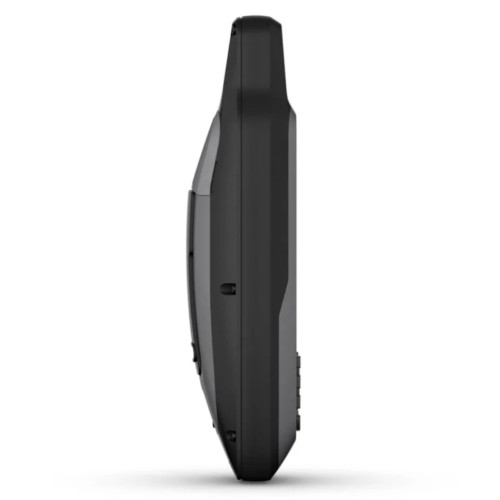
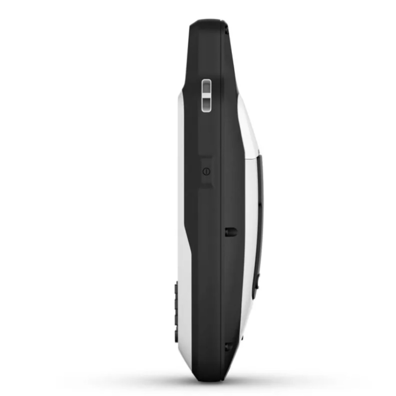
| DIMENSION | 2.67'' x 6.85'' x 1.67'' (6.77 x 17.40 x 4.23 cm) |
| DISPLAY SIZE | 1.5"W x 2.5"H (3.8 x 6.3 cm); 3" diag (7.6 cm) |
| DISPLAY RESOLUTION | 240 x 400 pixels |
| DISPLAY TYPE | transflective, 65K color TFT |
| WEIGHT | 9.95 oz (282g) with batteries |
| WATERPROOF | IPX7 |
| BATTERY TYPE | 2 AA batteries (not included); NiMH or Lithium recommended |
| BATTERY LIFE | up to 19 hours |
| MIL-STD-810 | yes (thermal, shock, water); bare unit only |
| INTERFACE | high speed microUSB and NMEA 0183 compatible |
| MEMORY/HISTORY | 8 GB (user space varies based on included mapping on sc version) |
| Maps & Memory | |
|---|---|
| PRELOADED MAPS | Available on sc version only |
| ABILITY TO ADD MAPS | Yes |
| BASEMAP | Yes |
| AUTOMATIC ROUTING (TURN BY TURN ROUTING ON ROADS) FOR OUTDOOR ACTIVITIES | Yes (with optional mapping for detailed roads) |
| MAP SEGMENTS | 15000 |
| INCLUDES DETAILED HYDROGRAPHIC FEATURES (COASTLINES, LAKE/RIVER SHORELINES, WETLANDS AND PERENNIAL AND SEASONAL STREAMS) | Yes (downloadable from Garmin Express™) |
| INCLUDES SEARCHABLE POINTS OF INTERESTS (PARKS, CAMPGROUNDS, SCENIC LOOKOUTS AND PICNIC SITES) | Yes (downloadable from Garmin Express™) |
| DISPLAYS NATIONAL, STATE AND LOCAL PARKS, FORESTS, AND WILDERNESS AREAS | Yes (downloadable from Garmin Express™) |
| EXTERNAL MEMORY STORAGE | yes (32 GB max microSD™ card, not included) |
| WAYPOINTS/FAVORITES/LOCATIONS | 10000 |
| TRACKS | 250 |
| NAVIGATION TRACK LOG | 20,000 points, 250 saved gpx tracks, 300 saved fit activities |
| NAVIGATION ROUTES | 250, 250 points per route; 50 points auto routing |
| RINEX LOGGING | Yes |
| Sensors | |
|---|---|
| HIGH-SENSITIVITY RECEIVER | Yes |
| GPS | Yes |
| QZSS | Yes |
| SBAS | Yes |
| BEIDOU | Yes |
| COMPASS | Yes (tilt-compensated 3-axis) |
| GPS COMPASS (WHILE MOVING) | Yes |
| Outdoor Recreation | |
|---|---|
| POINT-TO-POINT NAVIGATION | Yes |
| AREA CALCULATION | Yes |
| HUNT/FISH CALENDAR | Yes |
| GEOCACHING-FRIENDLY | Yes (Paperless) |
| CUSTOM MAPS COMPATIBLE | Yes |
| PICTURE VIEWER | Yes |
- Sold Each
SKU# 010-02635-00
Items included in this kit:
- GPSMAP 79s or 79sc, depending on the version selected
- Lanyard
- USB cable
- Documentation
Fits:
Accessories
| Product |
|---|
| Power/data cable (bare wires)Power/data cable (bare wires) |
| MicroUSB CableMicroUSB Cable |
| Carrying Case (Deluxe)Carrying Case (Deluxe) |
| Universal Carrying CaseUniversal Carrying Case |
| Retractable LanyardRetractable Lanyard |
| Swivel Belt ClipSwivel Belt Clip |
| Quick Release LanyardQuick Release Lanyard |
| Belt Clip (Spine Mount)Belt Clip (Spine Mount) |
| Backpack TetherBackpack Tether |
| Flotation LanyardFlotation Lanyard |
| Friction MountFriction Mount |
| Adjustable Handheld MountAdjustable Handheld Mount |
| Bike MountBike Mount |
| Cart Mount Cart Mount |
| Car MountCar Mount |
| 4 GB microSD™ Class 4 Card with SD™ Adapter4 GB microSD™ Class 4 Card with SD™ Adapter |